
Computational infrastructure
- Python
- R
- Pangeo catalog
- Cloud-native computing
- Google Cloud Storage
Climate change & Earth system dynamics
Engineering cloud-native pipelines that move climate science from retrospective observation to actionable forecasting.
Research focus & field
My research is driven by the urgent need to understand, quantify, and adapt to the escalating impacts of global climate change. I operate at the intersection of computational data science, Earth system dynamics, and climate policy, focusing on how shifting atmospheric thermodynamics disrupt physical environments and the societies that depend on them.
Computer science is a methodology,
not an endpoint.
While my recent specialized work has centered on terrestrial macroecology and forest resilience, my broader scientific interest lies in untangling complex climate data to answer critical questions about environmental risk, tipping points, and planetary boundaries. By engineering cloud-native, high-throughput pipelines to process global-scale data (CMIP6, NetCDF), I build predictive systems that move climate science from retrospective observation to actionable forecasting.
Ultimately, my focus is on translating massive computational climate datasets into clear, evidence-based insights that drive climate-smart conservation, governance, and adaptation strategies.
Research experience
Guest Scientist Birmensdorf, Switzerland
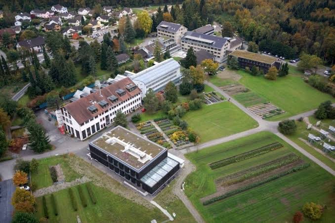
Collaborating with domain experts to scale and refine predictive models of forest structural vulnerability. This work integrates CHELSA bioclimatic datasets and bias-corrected environmental data to validate macroecological assumptions regarding spatial carrying capacity and atmospheric stress.
Researcher Yerevan, Armenia
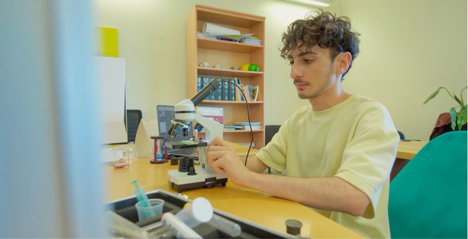
Developed a computational framework targeting Output 1.2 of the Forest Restoration and Climate Change in Armenia (FORACCA) initiative. Engineered a full-stack, automated pipeline to map long-term atmospheric stressors to static 3D forest structural outcomes.
Dilijan & Syunik regional forests, Armenia
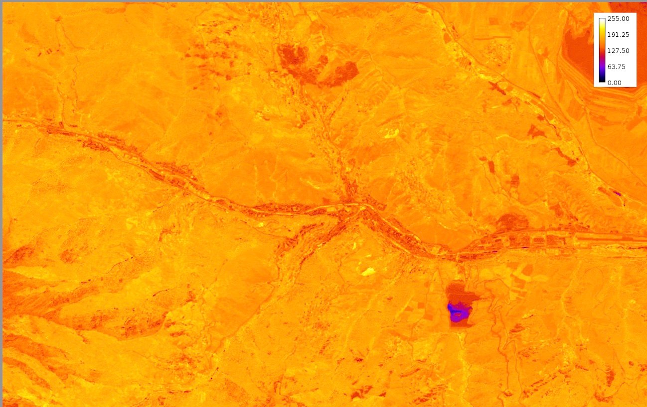
Designed and executed an automated image processing pipeline to quantify carbon sequestration potentials via Leaf Area Index (LAI). Developed macro-driven binarization and structural analysis protocols on multi-temporal canopy datasets.
Author, The Overshoot: Life After the 1.5°C Limit
Published an independent monograph analyzing the systemic cascading effects of breaching key planetary boundaries, bridging physical climate realities with socio-environmental adaptation strategies.

January – June 2026 Yerevan, Armenia
March – June 2025 Yerevan, Armenia
Featured tool
Assessment of Niche, Treeline & Analogue Refugia v2.0.0
A web interface and modelling chain for climate-resilient reforestation in Armenia. ANTAR links daily water stress, hydraulic-failure hazard, species niche and treeline change into multi-scenario refugium scores, then turns them into robust planting decisions under a budget.
Climate and water balance. Coarse climate is lapse-corrected to each node’s elevation, then run through a species-rooting-depth soil bucket to give a daily water-stress signal.
Mechanistic hydraulic-failure hazard. A two-phase time-to-failure model converts water stress into the probability that trees suffer hydraulic failure.
The statistical counterpart to XYLEM, fitted to satellite-observed dieback so the mechanistic hazard can be checked against what trees actually did.
Niche and treeline. Asks where each species’ climate niche and thermal treeline lie, now and under future scenarios.
Combines hazard and niche into multi-scenario viability and robust-refugium scores for every place.
Decision support. Chooses what to plant where under a budget, hedging against the worst plausible futures.
Ohanyan, N. (2026). ANTAR — Assessment of Niche, Treeline & Analogue Refugia (Version 2.0.0) [Computer software and web interface]. https://antar.narekohanyan.com (source code: https://github.com/Narek-Ohanyan/antar). https://doi.org/10.5281/zenodo.23236944
ANTAR’s Status & limits page documents what is implemented and which inputs are still placeholders.
Research skills & technical stack
Academic goals
Having established a robust foundation in spatial analytics, algorithmic design, and climate informatics, my primary objective is to pursue a Ph.D. in Earth System Science, Climate Dynamics, or a closely related discipline at a leading research institution.
Because I treat computer science as an adaptable toolkit rather than a restrictive discipline, I am eager to apply my computational background to a broad range of systemic climate questions — terrestrial ecohydrology, land–atmosphere interactions, atmospheric risk assessment, global tipping points. My goal is to fuse high-performance computing with foundational Earth science to develop next-generation predictive models that untangle complex Earth system dynamics and help humanity navigate the defining crisis of our time.